
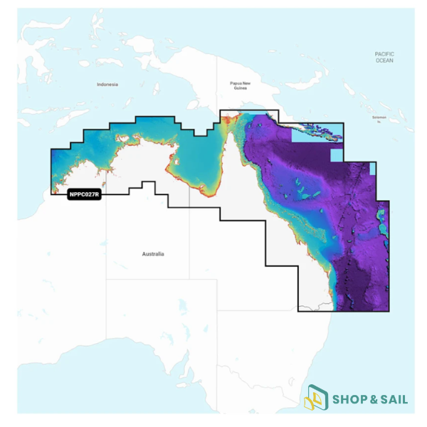
NPPC027R nautical chart Australia North East Navionics
Compatible models :
160,20 € TTC
Discover the NAAE104R nautical chart for North East Australia. This high-performance SD chart is the ideal navigation accessory for your sailboat or catamaran. Enjoy advanced marine GPS technology with 3D relief, compatible with Raymarine, Simrad, and Lowrance chartplotters.
The NAAE104R Platinum+ nautical chart is essential for safe navigation in North East Australia. Whether you’re sailing a monohull or a catamaran, this chart enhances your onboard electronics and lets you explore the Great Barrier Reef with confidence.
This premium version provides high-resolution seabed relief along with satellite imagery overlay. These features offer an intuitive reading of coastlines and underwater terrain, ideal for fishing and anchoring. With SonarChart technology, you benefit from detailed depth mapping every 0.5 m, helping you identify the best spots with precision.
This SD marine chart also simplifies your anchoring maneuvers by displaying hazard zones and underwater structures in detail.
Your purchase includes a 1-year subscription for daily updates, ensuring your navigation data stays current.
Check your marine chart compatibility by consulting the official guide (see PDF).
Technical specifications of the NAAE104R nautical chart North East Australia Navionics:
-
Model: NAAE104R (North East Australia)
-
Compatibility: Raymarine, Lowrance, Simrad, B&G, Humminbird
-
Key features: shaded relief, satellite imagery, HD bathymetry, autoguidance
-
Dimensions: ND
-
Weight: 90 g
| Weight | 0,09 kg |
|---|
Compatibility Guide